Residents in and around Winslow, Arizona, are being urged to remain alert to changing weather conditions Wednesday as thunderstorms and potentially hazardous weather affect the region.
The National Weather Service is reporting an active period of unsettled weather across northern Arizona, with thunderstorms, heavy rainfall and localized flooding among the primary concerns. For Winslow, the latest NWS forecast shows a Flood Watch in effect through the evening, along with a 50% chance of showers and thunderstorms during the afternoon and evening.
While severe weather alerts are being issued across several parts of the country Wednesday, the latest official information available for Winslow does not confirm an active tornado warning specifically for the city. The primary verified hazard affecting the Winslow area is the threat of heavy rainfall and thunderstorms, with flooding possible as storms develop.
The NWS forecast indicates that thunderstorms could continue into Wednesday night, with storms capable of producing periods of heavy rain. Winds could also become gusty, adding another concern for motorists and residents outdoors.
A Flood Watch means conditions are favorable for flooding to develop. Heavy rain falling over a short period can overwhelm drainage systems and cause water to accumulate rapidly in low-lying areas, washes and roadways.
Residents should avoid driving through flooded roads and should never attempt to cross moving water. Even when floodwater appears shallow, it can conceal hazards or become powerful enough to move a vehicle.
The broader weather pattern is also producing significant severe-weather activity across parts of the United States. The National Weather Service has listed severe weather and heavy rainfall from the High Plains to the Ohio Valley among the nation’s major weather concerns Wednesday.
Several severe thunderstorm watches have been issued across portions of the central United States, demonstrating the volatile atmospheric conditions developing across the wider region. However, those watches should not automatically be interpreted as applying to Winslow, Arizona.
For Winslow residents, the safest approach is to monitor official NWS alerts as storms approach. A severe thunderstorm warning or tornado warning can be issued or changed quickly as radar observations and storm conditions evolve.
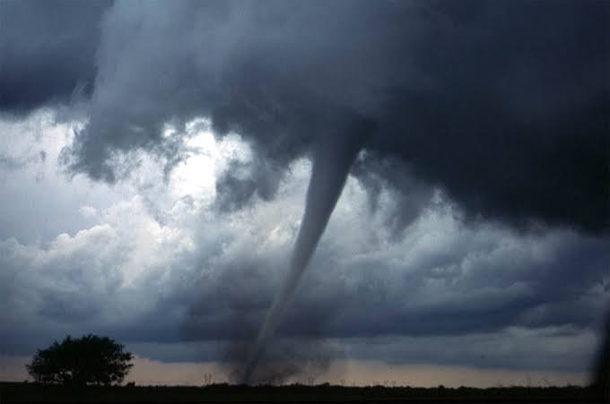
If a tornado warning is issued for Winslow, residents should immediately move indoors and seek shelter in an interior room on the lowest floor of a sturdy building, away from windows. Mobile homes and other structures offering limited protection should be avoided during a tornado threat whenever a safer shelter is available.
People outdoors should seek substantial shelter rather than remaining in exposed areas to watch approaching storms. Drivers caught in dangerous weather should slow down and avoid flooded roads or areas affected by debris.
The Winslow Fire Department and other emergency services remain important local resources should severe weather cause flooding, damage or other emergencies.
At present, there are no verified reports of a tornado striking Winslow or causing injuries or major property damage today. The situation remains weather-dependent, however, and conditions can change as thunderstorms develop.
Residents should continue monitoring the National Weather Service and local emergency notifications throughout the afternoon and evening. Updated warnings should always take precedence over earlier forecasts.
The latest NWS information indicates that thunderstorms remain possible around Winslow, while the Flood Watch remains the most clearly confirmed active hazard for the area.
Winslow residents should remain weather-aware Wednesday as thunderstorms and heavy rainfall affect the region. Although an active tornado warning for Winslow has not been confirmed in the latest official information, dangerous weather conditions remain possible, particularly heavy rain, flooding and gusty winds.